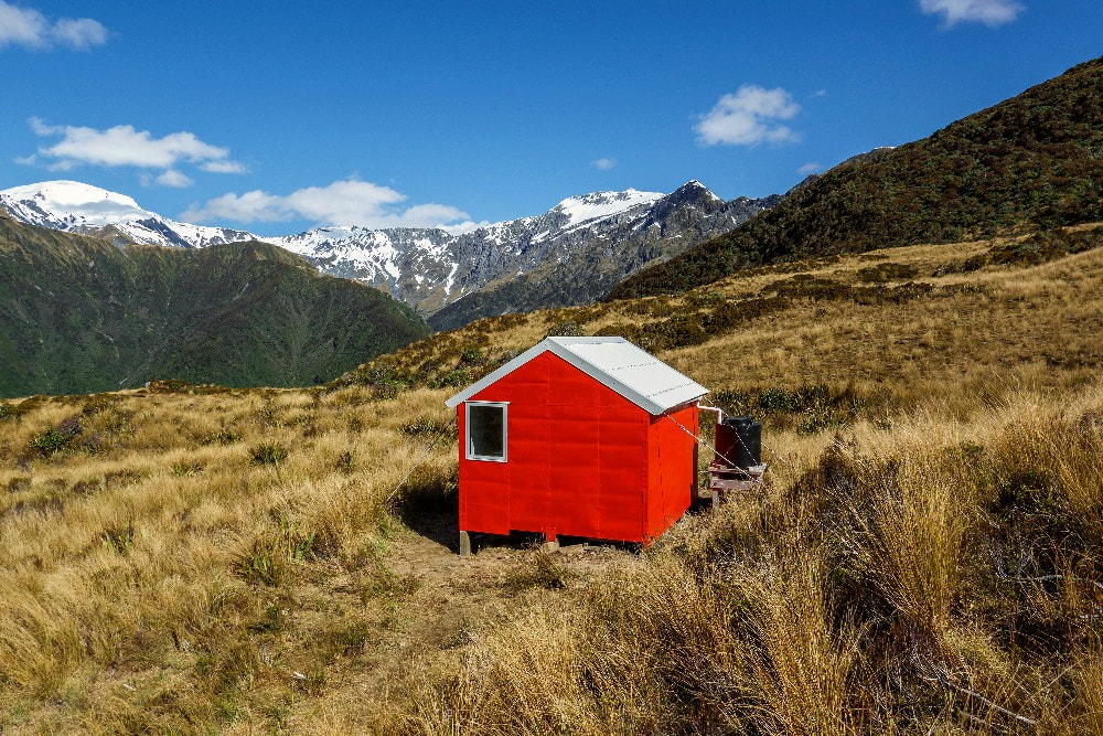
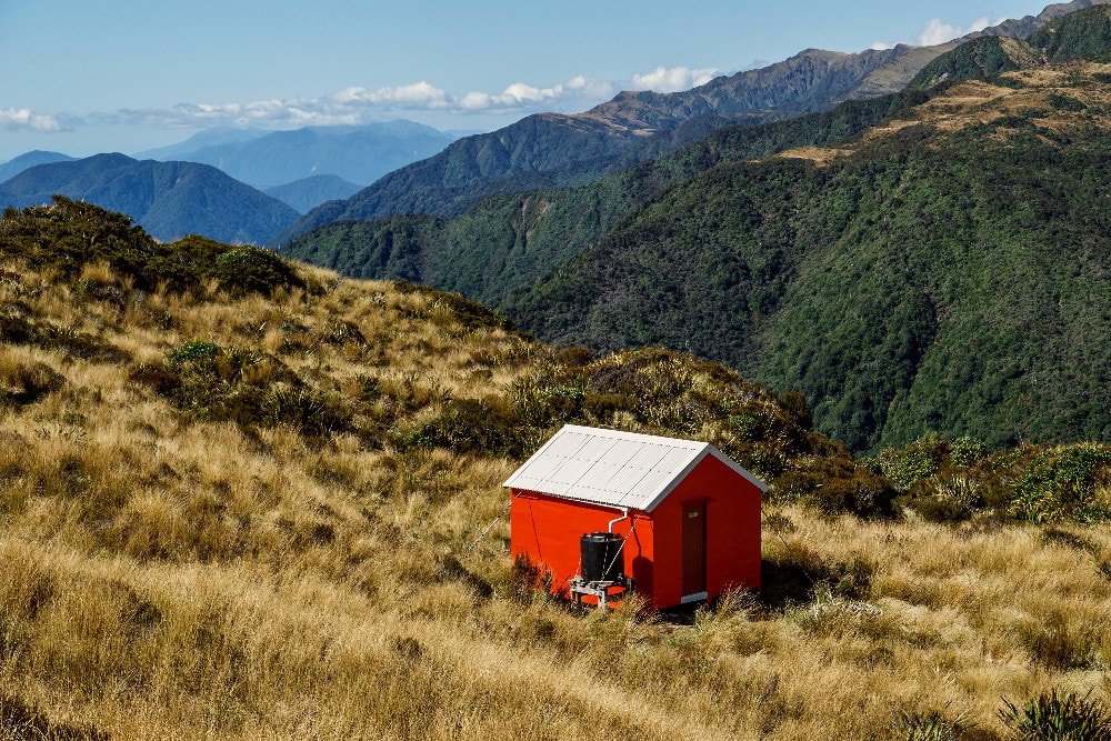
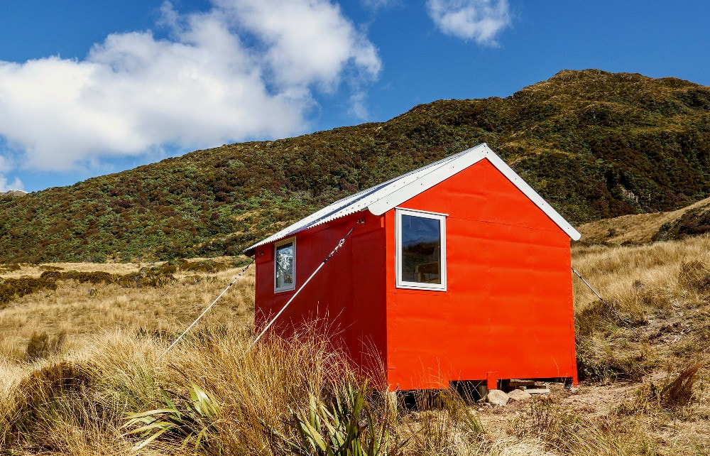
Dickie Spur Hut
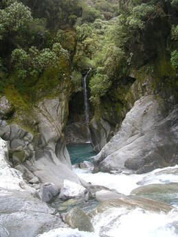 Tuke Gorge
Maintenance status
Dickie Spur Hut and its access track are fully maintained by DOC currently, although having said this, some major maintenance has just been carried out by a Back Country Trust team. The Trust funded the replacement of the windows and roof, the painting of the Hut, and some interior maintenance. The project has allowed removal of the existing lead flashings and lead head nails that posed a danger to kea.
Location
Mikonui catchment. Map BV18. GPS Ref: E1426537/ N5230468 (BV18 265 304). Altitude 1090m. Dickie Spur Hut is located at the northern end of Dickie Ridge high above the Tuke River. There are superb views from the Hut out to the coast and upvalley to Galena Ridge, Mt. Beaumont, Sawtooth Ridge and The Tusk. Dickie Spur is a great overnight tramp that takes 5-6 hours from the Mikonui roadend. It also provides a stopover for those travelling to Top Tuke Hut in the head of the valley, many of whom are continuing on to Ivory Lake Hut in the Waitaha. There are a few resident fernbirds in the area if you are patient enough to sit and listen for a bit.
Access
The Dickie Spur track from the Mikonui valley was recut by DOC in December 2020. The track starts in scattered scrub 200m SE of Mikonui Flat Hut, enters the bush and climbs steeply over a wedge of terrace into the Tuke River at the top end of the first gorge. A swingbridge takes you to the TL and continues upriver from there. If the river is at its normal level, it's quite a bit quicker not to use the bridge and the first bit of track after it which is a bit messy. Instead continue up the river flats on the TR and ford back to the TL just above Perry Creek. The track leaves the river just before Truran Creek and climbs steeply up the ridge on its TL then sidles around through some uneven boggy patches to Truran Pass.
The track continues past the Polluck Creek turnoff and climbs steeply alongside a large slip in the head of Truran Creek. The gradient doesn't ease much until around the 1050m mark. The scrub opens out here and the ridge is followed in a series of steps through the sub-alpine zone to a signposted turnoff at the 1200m contour. Waratahs lead from here down a side-ridge to the tussock bench where the Hut is located. Allow 4-6 hours from Mikonui Flat Hut to Dickie Spur Hut.
Dickie Spur can be accessed from Polluck Creek Hut in the Kakapotahi valley via Polluck Creek and Truran Pass. The route is mostly creek travel with a section of track from the head of Polluck Creek up to the Pass. This bit was trimmed by volunteers in 2010 but is now pretty overgrown. Allow 4-5 hours from Polluck Creek Hut to Dickie Spur Hut.
Type
Dickie Spur is a NZFS 4-bunk S81 design built in 1968. It originally had wood burner in a chimney alcove. This was removed by DOC in the 1990's and a toilet built. A roof-fed water tank was added around 2004. A photocopy of the original hutbook which dates from 1969 to 2007 has been left in the hut and makes for a fascinating read.
Condition
Dickie Spur is now in good shape. In October 2022 Tom Hayes, Mike Sheridan, Paul Chinn, and Rob Brown went in as volunteers and put in 4 anchor piles and did the hut painting and tie downs. The piles were more securely fixed to the bearers. Clint Jarvis and Will Williamson were the builders who replaced the windows, did the roof, and the wall mounting points for the tie downs. One of the side piles which wasn't replaced is rotting around its foot but still has a fairly solid core. The toilet hole has filled, and the toilet is on a lean. It needs to be shifted to where a hole with decent drainage can be dug.
Routes
Top Tuke Hut is accessed by following the waratahs back up onto Dickie Ridge. Continue climbing up and over point 1326m to a dip in the ridge around point 1296m. Poles lead from here down some steep tussock faces into an unnamed creek which is followed down into the valley. On NZ Topomaps the descent is marked incorrectly on the spur on the TL of the creek. A track exits the creek on the TR around the 800m contour, sidles upvalley for 15 minutes, and drops into the riverbed at the top entrance of the Tuke Gorge. It is mostly river travel on the TL from here although the odd ford to the TR at normal flows will give a better line of travel. The going gets rougher as you get further up and some of the larger boulders can be a challenge to negotiate. DOC have cut and marked bush detours in several places and there is a small gorge 20 minutes below the Hut with a track around its TL. A short section of river travel follows to opposite a small side-creek just upriver from the Hut (E1428172/ N5226869 (BV18 282 269)). Ford here and follow a short section of track from the mouth of the creek onto the terrace where the Hut is. The Hut itself is clearly visible from a number of points on the route. The top ford would not be safe after heavy rain. Allow 3.5 to 5 hours from Dickie Spur Hut to Top Tuke Hut.
Top Tuke can also be accessed by continuing up Dickie Ridge however there is no time advantage in doing this as the Ridge is a long plod with quite a few ups and downs. There are a couple of exposed sections with rotten rock on the approaches to point 1920m, one of which is marginal without a rope. The terrain below where you drop-off around point 1920m is bluffy and locating a good line when descending from above may not be easy.
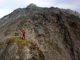 Dickie Ridge just above 1920m. Photo Rachel Zurer
Top Waitaha Hut can be accessed by continuing up Dickie Ridge onto the NW shoulder of The Tusk. The ridge down to Ragged Peak from The Tusk is easy going and Ragged Peak's broad SE spur is used to access the Top Waitaha Basin. Drop off the spur where it is dissected by a smallish branch of Watson Creek around 1360m. A steep rib drops west from a flat bench here down into an unnamed side-creek that enters the Waitaha 100m downstream from the Hut. Drop left off the rib into a steep gut to access the creek bed 100m above where it meets the river. Top Waitaha Hut is visible from a number of points on the descent. Allow a full day for the crossing from Dickie Spur Hut. A full set of alpine gear would need to be carried during the colder months.
Sawtooth Ridge is traversable however it is necessary to sidle North off the Ridge at the low point after point 1957m to get around a rock buttress. Ivory Lake Hut can be accessed over points 2084m and 1870m and down the spur on the TR of the Lake. A short, down-climb of around five metres just before point 2084m is exposed and crumbly in places, could be icy in winter, and problematic without a rope and/ or crampons. From here on it is reasonably straightforward, although a couple of bits on the lee side of points 2084m and 1870m may require crampons during the colder months. In late summer and autumn this bit can usually be done without an ice axe.
Repairs Still Needed
There are a couple of small finishing jobs. The door still needs to be painted and the interior, with a splashback for the bench. The toilet needs to be shifted. An overflow needs to be put in for the water tank.
Provisions on Site
Two aluminium washbasins, two hearth shovels and hand broom, a full-sized broom. Two bench seats a couple of paint rollers, two paint brushes. Under the hut are some timber bits, three of the old piles and a wooden roof ladder.
