Thomas river hut
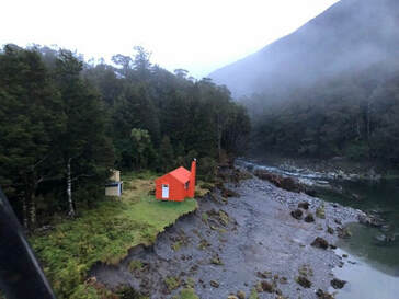 The washout at Thomas River Hut taken after the second flood in March 2019
Maintenance Status
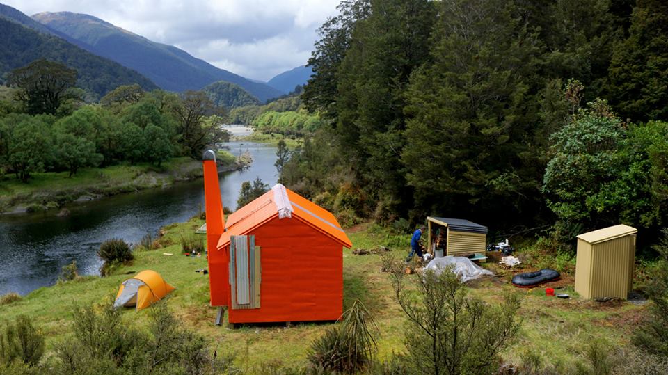
Thomas River Hut is a community maintain project undertaken by Permolat's Geoff Spearpoint. In 2016 he used some Back Country Trust funding to carry out some repairs and trackwork. In 2018-19 a series of floods washed out a large section of riverbank and left the Hut hanging over the riverbank. DOC Haast came to the party and cleared some forest up on higher ground and winched the Hut out of harm's way, then in September 2019 a volunteer/ DOC team winched it to the new site. In September 2020 the crew went back in and attached the chimney. In October 2023 further painting and trackwork was carried out by a Permolat team.
Prior to all of this Thomas River Hut hadn't had much in the way of maintenance for a couple of decades. It's a low-use hut by virtue of the Thomas catchment being on the TR of the Haast River which must be crossed by raft or jet boat for foot access. It gets around 20 visits a year, a significant percentage of which are fly-in hunting or fishing parties. The route up the TL of the valley to the Hut is a mix of track and river travel.
Location
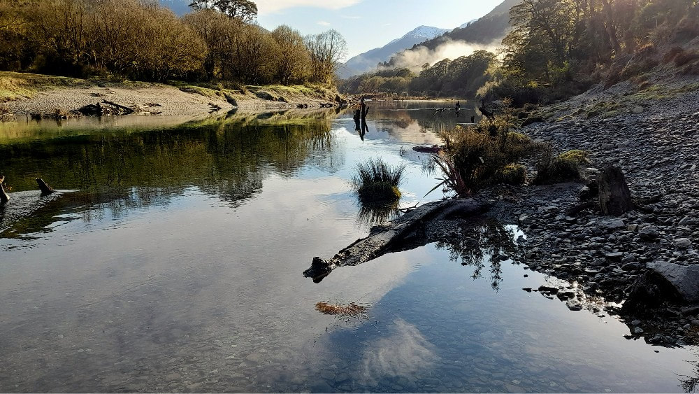
Haast Catchment, Thomas River. NZTopo50 Map: BY12 Grid/NZTM2000 coordinates: E1294389, N5132955 (BY12 944 329). Altitude 160m. Thomas River Hut is sited on a low terrace on the TR of the valley. There are large still pools and gravel flats further upstream with trout easily spotted in the crystal-clear water. Downstream the river tumbles through bouldery stretches of beech/ hardwood forest. It's sandfly country and the mozzies can be bad in the summer and come down through the chimney at night.
Access
The Haast River is braided where the Thomas comes in and can be forded on occasions when low. This shouldn't be relied upon however, and some reliable form of floatation is pretty much essential. Once across the Haast the TL riverbank of the Thomas is followed along fairly open river flats with open grassy areas to a short stretch where the bush must be entered. This bit is open but messy with patches of windthrow. From the top end of Law Flat to around one km below Pile Creek it's boulder hopping (the track marked on NZ Topomaps below here doesn't actually exist anymore). The track starts on the TL of a dry flood channel that enters at E1293264/ N5130804 and can be followed from here to the Hut. It was recut and marked in October 2023. Allow 3-4 hours to the Hut from the Haast River. An old track up the TL upstream of the Hut was recut and marked up to the first good gravel crossing by Geoff and Co. in 2023.
It is possible to reach the Thomas valley up the TR of the Haast from the bridge on SH6, but it's untracked and can't really be promoted as a fun trip. The first two kms to Jamieson Creek are the most difficult followed by a bush bash around Mosquito Bluff. After this there are some good stretches of river flat to follow with the odd bush bash around promontories or where the river cuts in. Allow around six hours from the bridge to Thomas River.
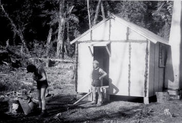 Thomas River just after its construction: Photo Derrick Field
Type
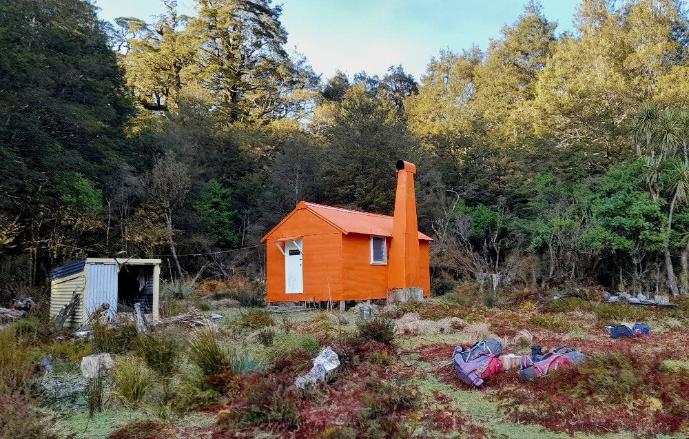
Thomas River Hut is a standard NZFS 6-bunk S70 design with open fire built in 1972.
Condition
Thomas River was in reasonable condition when Geoff first inspected it in 2015. In 2016 he and others did some door repairs and replaced some external wall cladding, and some of the internal ply lining. They built a new woodshed, replaced the rotten toilet seat, cut back some vegetation, and did a little trackwork. Later in the year another team led by Geoff returned and replaced the ridging and skylight. The end window was removed and re-flashed, the Hut painted, and the tracks above and below the Hut recut. The Chimney was reattached in September 2020. Images of the Hut shifting process are at: gowildnz.smugmug.com/Thomas-River-moving-2019/. Geoff and Jane Morris attempted a roof paint in October that year, but rain set in and washed it off. The 2023 team finished things off and did the trackwork.
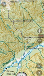 Line from the Thomas River to the Matakitaki tops.
Routes
Thomas River Hut can be accessed from Roaring Billy Hut over the Thomas Range, or from the recently built Hut on the Mataketake Range. A recent party dropped down from the latter on the true left of Wyllie Creek. Travel through the bush was reasonable with the odd deer trail to follow. It took around two hours to get from the bushline down to the river, and so would probably take three going up. This line ends at a fairly wide and shallow spot where the Thomas can be forded. Geoff has gone up the ridge on the TR of Wyllie and reckons the bush is a bit better travel on that side.
Repairs still needed.
Nil currently.
Provisions on Site
An axe, a broom, three stainless steel and one plastic water bucket, a camp oven, a frypan, a couple of billies, an aluminium wash basin, several waratahs and a saw. There is a pile of unused building timber and large wooden bearers in a stack near the hut.
