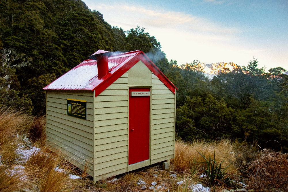
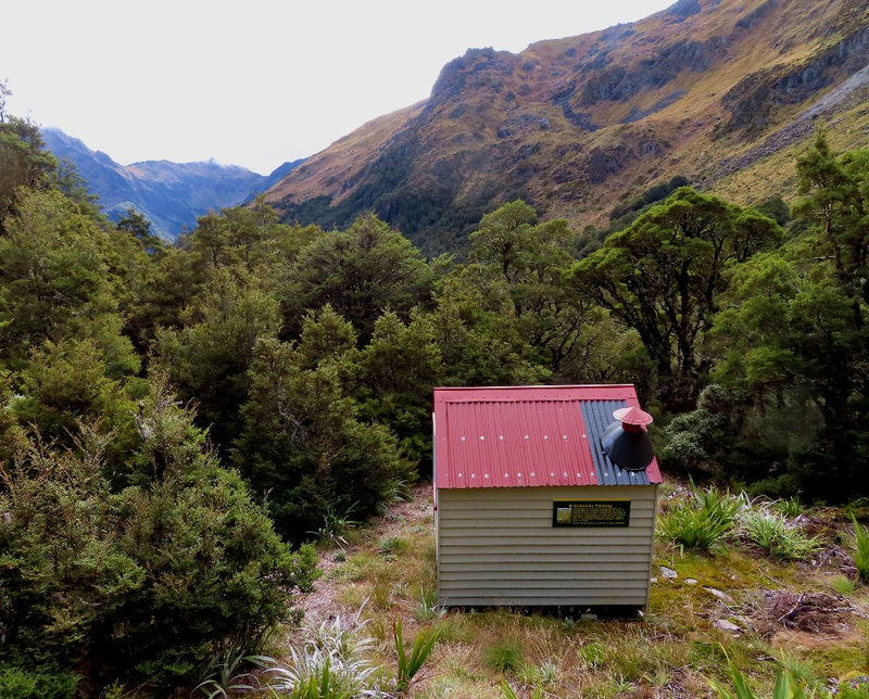
Top waitahu biv
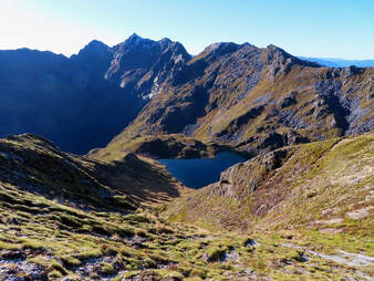 The tarn above the head of Shaw Stream. Mt Ivess on the skyline.
Maintenance Status
Top Waitahu Biv has been designated as minimal maintenance by the Department of Conservation and has had some recent work done on it. There are no cut tracks or marked routes to it.
Location
Waitahu River catchment. Map: Springs Junction BT22. Grid Ref: NZTM E1526378/ N5327146 (BT22 264 271). Altitude 1260m. Waitahu Biv is located in the head of the Waitahu valley, a tributary of the Inangahua River. It sits just below the bush-line which is predominantly silver beech. A large DOC sign on the outer wall warns of a low risk of avalanche, although the Biv hasn't been hit by anything of that nature since it was built in 1968. Because of the relatively difficult access foot visits to Top Waitahu are generally few in a given year (someone recently worked out that the average was around 2.6 per year). Most visits are fly-ins to hunt Chamois. 2017 appears to have been some sort of aberration, with eight visits.
Access
A fit, experienced party could theoretically make it to Top Waitahu in a long day from the roadend. The most direct route is up Lake Stream from SH77, several kilometres West of Rahu Saddle. The start of the track up Lake Stream is sign-posted, with a parking spot several hundred metres up the road next to a passing bay. The track to Lake Stream Biv is DOC maintained and as of early May 2024, they'd started recutting the route. The first hour of track is in good condition and the larger windthrow has been cut through along its entirety. The mid-section, still uncut, has a fair bit of seedling regen and is a bit vague and hard to follow in places. Further up the forest transitions to silver beech and the understorey is more open. The track climbs steadily though quite beautiful forest and multiple crossings of the stream are required along its course. Allow around three hours to reach Lake Stream Biv.
From the Biv a rough foot trail wends through scattered patches of beech forest and marshy patches into more open country. A bouldery gut in the head of the stream can be avoided by exiting on the TL around the 1100m contour and climbing directly up onto the SE ridge of point 1568m. A traverse of Ivess Peak is a technical job requiring climbing skills and gear, so the usual option is to follow the ridge North of point 1568m and drop off down the spur on the TL of the large tarn above Shaw Stream where there are some good camping spots. Allow three hours from Lake Stream Biv to here.
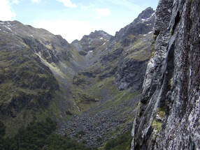 The head of Shaw Creek with the col to the left of the peak. Photo Glenn Johnston
There are no easy lines from the tarn into the head of Shaw creek. One option is to sidle upvalley from the outlet creek maintaining altitude between the 1200m and 1300m contours. It's rough, scrubby, and bluffy going and there are only a couple of places you can safely drop down to access the boulder field in the head of the stream. The other option is to drop down a steep gut on the TL of the waterfall on the tarn's outlet creek. On the map the creek is marked as dropping straight into Shaw Stream, but it actually runs north through a narrow rift for a bit before doing this. You can exit this rift and continue sidling upvalley at roughly the 1100m contour through stunted beech forest. This is also rough going, but less exposed than the high route. The large boulder field in the head of the valley makes for very difficult travel, with jumbles of large moss-covered rocks interspersed with scrub, and spaniards galore. The least difficult route is up the TL of the field to the foot of the bluffs under Mt Ivess, then hug the bluffs back up and around towards the stream. The upper stream is also full of boulders and can be avoided by climbing up through the ledges of a small bluff system on the TL at around 1300m. Continue up to the saddle between points 1730m and 1620m from where the Biv is clearly visible in fine weather. Drop directly down the gut towards the Biv. The last bit of the descent is made less enjoyable by alpine scrub and prolific speargrass. Times are likely to vary considerably from the tarn to the Biv depending on the party's experience and conditions. Four hours would probably be a comfortable minimum, providing you get optimal lines of travel.
There is no helicopter access at the Biv site, however there is a fairly flat tussock knoll some 60 vertical metres higher up the hill.
Type
Top Waitahu Biv is a two-bunk design built in 1968 and is unique in having a mini coal range that provides efficient cooking and heating. Water is from a stream close by. There is no toilet.
Condition
Top Waitahu Biv is in excellent condition currently. It received an upgrade in 2004, including repainting and new mattresses, and in 2021 DOC went in and did some more minor maintenance and site clearance. They extended the fire hearth, sanded and painted the windowsill and door, removed all the lead-head nails and replaced them with tech screws, replaced the lead-flashed ridging, placed a new sheet of iron over the flue section of the roof and a rubber boot around the flue, covered this with a kea proof collar, and repaired the flue cowling.
Routes
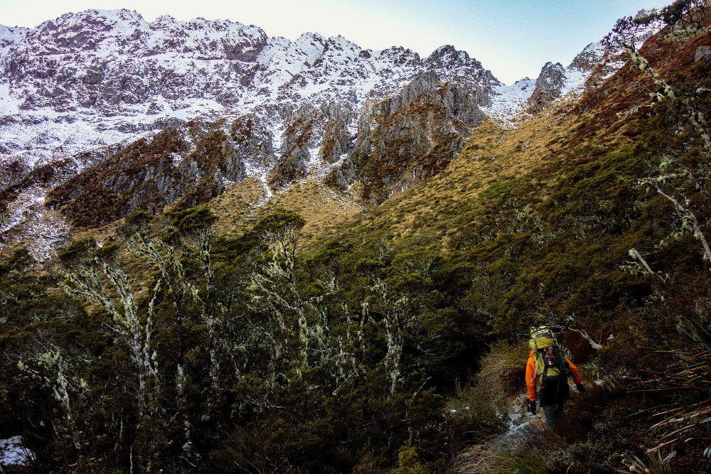
It is possible for a fit party to access Top Waitahu Biv in a day up the Waitahu River from Montgomerie Hut. Head up the Waitahu river flats, crossing and recrossing where necessary. The TR terrace can be traversed to cut the corner before the confluence with Shaw Stream. Above Shaw Stream the River is attractive and easy travel. Continue to zig-zag between respective river terraces, using the TL to sidle around a steeper section of River above point 557m. The valley widens significantly after this where the river veers SE to its headwaters. The top TL branch is steep initially, but widens out on the TR, where travel is comfortable. Some large clearings visible on the topo map provide good camping spots. The valley continues to narrow, but travel remains straightforward. It is probably best to follow the river up to the Biv. A tempting looking spur to the bushline requires a bash/ sidle westward through alpine scrub to reach the Biv. Be prepared for a nine hour plus day from Montgomerie Hut to the Biv.
Repairs Needed
Nil currently.
Provisions on Site
A range of pots and pans, a broom, dustpan and brush, an axe, a shovel, a spanner, a bow saw, a hammer, nails (3-4inch), a scrubbing brush, a steel bucket, a plastic bucket, a large spoon, fork, fish slice, cups x 2, a plastic 3 litre bladder, rat poison, twine, 2 mattresses. There was one bag of coal stashed under the hut bunk in May '24.
